


0384.png?h=1314d3d4&itok=Y1L1T7PN)
%20(twitter%20post)830c.png?h=12d14269&itok=kiNWcEcX)


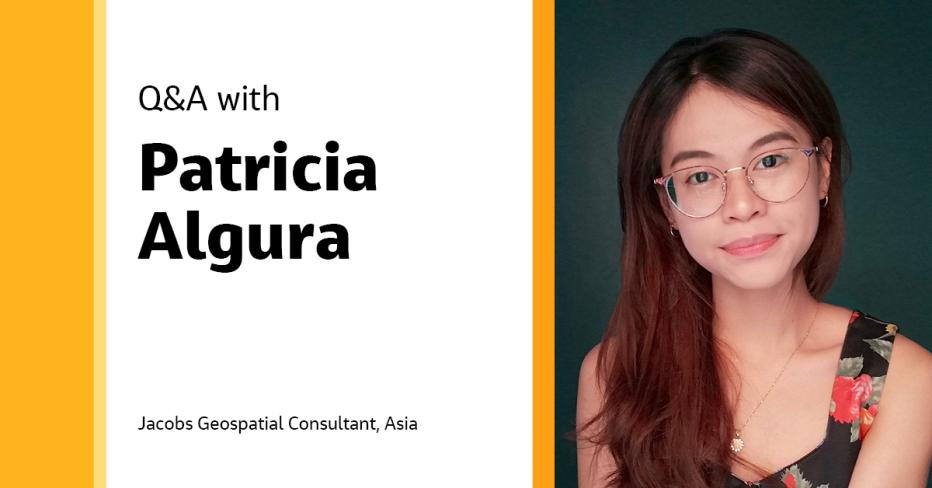
Q&A
Jun 25, 2023


-
Save to favoritesShare with your friends
-
We’re living in the era of digital disruption and we need bold digital and technology leadership now more than ever before. Leading this change demands knowledge, imagination, new thinking, an appetite to reinvent and the courage to challenge conventions.
In this series, we're celebrating our team of digital and technology experts and visionaries, spearheading the development and delivery of our technology-forward solutions for smarter working, and better living in Asia Pacific and the Middle East.
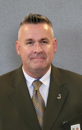
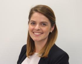
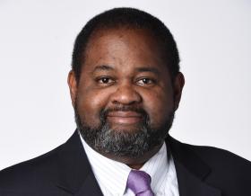
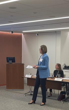
In this feature, we interviewed our Geospatial Consultant in Asia, Patricia Algura, to discuss her passion for the geospatial science. She shares her insights on how geospatial mapping transforms data into actionable insights and how empowering organizations and society with spatial thinking can drive innovation and problem-solving.
Hi Patricia! Tell us a bit about yourself and your role at Jacobs.
I graduated with a bachelor's degree in geography from the University of the Philippines. My career began as a Geographic Information System (GIS) specialist intern at Geodata Systems, the sole distributor of Environmental Systems Research Institute, Inc. (Esri) products in the Philippines. During my time there, I received extensive technical trainings. I later worked as a solutions engineer and in technical sales for four years, providing pre-sales and post-sales support, consultancy, training and technical support services for local clients. I had the opportunity to collaborate with Esri and the Philippine Statistics Authority (PSA) to implement an enterprise solution and develop the mobile application used for our country's census.
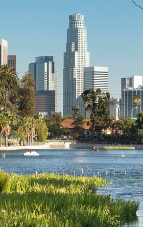
Now, in my role as a geospatial consultant, I've already been involved with various projects in Brisbane, the U.S. Western Australia, Victoria, New South Wales, New Zealand, the Philippines and Singapore, supporting internal and external clients in developing geospatial solutions to make better decisions and drive business innovation and efficiency. I also assist clients with their digital transformation projects and offer a spatial outlook to their business, which enables our clients to obtain additional insights that cannot be derived from typical reports or spreadsheets.
Can you tell us how the work you do is helping deliver Jacobs' strategy?
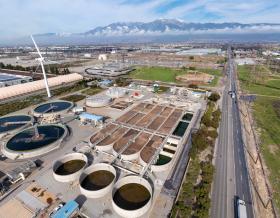
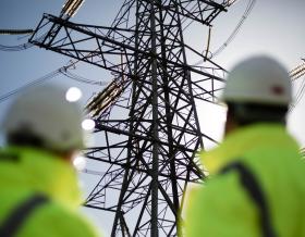
We help clients gain insights from their data by showing them where things occur and how various factors are interconnected. A burst in a main pipe isn't just about where it occurred, but also how it's impacting customers. We're empowering our clients to see beyond the now and challenge their usual ways of working. We also develop solutions for our clients to understand their assets' risks from different climate and non-climate hazards, allowing them to plan and make more accurate decisions on where to invest and mitigate their risks.
What are some of the most common challenges you face when working with geospatial data, and how do you approach them?
According to a paper by Bo Huang and Jionghua Wang, 80% of big data is geospatial. Everything has its location in the world and geospatial data is a powerful tool to understand the WHERE of things and their relation to everything else. However, you seldom enter an organization that provides pristine, high-quality, accurate, usable data. We’re like treasure hunters, looking for hidden data in the organizations’ systems. We always face data quality, size, complexity and communication challenges.
Geospatial data comes in different shapes and formats. We leverage top-notch tools such as ArcGIS, PowerBI, FME and Python to ensure that our data is clean, validated and standardized. These powerful tools allow us to analyze and present geospatial data with precision and efficiency.
With ArcGIS, we have access to a range of spatial analysis tools and commercial-off-the-shelf (COTS) software. This enables us to create low-code solutions for our clients quickly. Applications also provide extensibility and integrability to suit more complex client requirements. We also use FME to perform heaps of our Extract, Transform, Load (ETL) processes. We’ve successfully integrated ArcGIS, FME and PowerBI to support executives and planners in understanding their performance, investments and improving the overall value of their data. We’re empowering leaders through GIS and cultivating the practice of spatial thinking in decision-making.
How do you incorporate machine learning (ML) and artificial intelligence (AI) into digital geospatial solutions and what are some of their limitations?
Before ML and AI, we used to digitize building footprints from satellite imageries, view them from Street View, and manually encode address information. Each GIS specialist would spend days to finish digitizing a small neighborhood. I must confess that I struggled with this task and used to be one of the slowest digitizers while working as an intern. But recent developments in ML and AI have made those workflows a thing of the past. We can now train a model to automatically detect objects from imageries, create boundaries and assign information to them. A typical 3-day task would only take the model a few hours to finish, saving more time and money for the business. There is no denying that ML and AI are improving our current workflows and productivity.
However, there are still limitations to it. A model requires a tremendous amount of good-quality data to work accurately. Imagine digitizing a slum area – this will turn out to be a large clump of polygons. These areas need government attention regarding economic growth, education, healthcare and safety. However, they need to be given necessary consideration. I hope that further developments in technologies such as ML and AI could add some focus on considering underdeveloped countries or communities to be part of the equation and help other pressing issues in our society.
How do you stay current with the latest advancements in geospatial technology and use them in your work?
Over the years, technology has made significant progress. However, staying updated with all the developments and comprehensively understanding their capabilities, processes and practical applications in our work can be challenging. My typical day includes reading articles about new geospatial technologies, models and best practices. I’m also initiating a monthly face-to-face knowledge session with the digital team in Manila, so everyone can benefit from each other’s experiences and apply them to projects.
“As geographers, we are often labeled as "Jack of all trades, master of none," but this is not necessarily negative. Our ability to think across disciplines allows us to approach things critically, see the big picture and identify solutions by asking questions. We are the golden thread linking different fields, helping organizations innovate and harness the power of location.”

Patricia Algura
What’s one of the coolest projects you’ve ever worked on, and why was it so awesome?
It would have to be the project of conceptualizing and supporting the development of a mobile app to digitalize the Philippines’ 2020 Census. Over 400 users in different pilot areas used this application during the pandemic. Training and technical support were all done remotely to manage enumerators and supervisors. Amidst the challenges during that time, the project was a success allowing the fastest turnaround time in data collection, encoding and validation. All thanks to the power of GIS!
How has your work impacted the world around us?
I assist organizations in realizing the importance of geospatial data and how it pertains to their business operations, as location plays a crucial role in various aspects brings me joy to see clients become interested in GIS as they understand the significance of location in their decisions and how it can enhance their daily routines.
What advice for success would you give to the next generation pursuing a career in this field?
The geospatial field is a broad science that integrates all other fields. The best advice to start and succeed in this field is to have a good scientific foundation and then find your niche. You can evolve and experiment from there once you’ve mastered the techniques. Do not be afraid to try new tools and be bad at first. Stay curious, be humble enough to ask for help and recognize that you cannot know everything. Geospatial professionals are also very accommodating – always “mappy” to help!
-
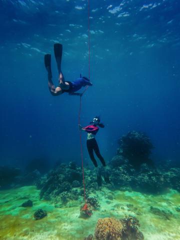
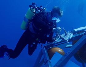
Patricia dives 5-meters (~16 feet) underwater
-

Patricia caught in a "spider web"
If you weren't in the office, what would we find you doing?
I love spending time with my family, watching Netflix shows, jogging and swimming. When I go on vacation, I prefer going to the beach, hopping from island to island and listening to the sound of the waves while sipping cocktails. Recently, I overcame my fear of the depths by learning freediving. I'm excited to continue practicing and improving my breath hold, with the ultimate goal of becoming a mermaid!
What do you enjoy most about being part of #OurJacobs?
I love the empowering and continuous growth culture at Jacobs. In my two years here, I’ve received immense support from my manager, leads, mentors and teammates. Their support keeps me motivated to assist our clients in resolving critical business challenges daily. I am welcome to speak my mind and offer my advice. I love working with a fun and dynamic team. This highly talented group is always willing to provide expert advice and assistance. I am confident in taking on new challenges because I can count on their support.
About the interviewee

Patricia Algura is a highly experienced professional focused on achieving results and paying attention to details. She has expertise in GIS, data management, solution design, business analysis and project management. Her expertise involves architecting and implementing geospatial solutions for utilities, energy, government, agriculture and commercial industries using a wide range of Esri technology, driving innovation and efficiency.
Patricia has extensive experience in software development, team management and collaborating with Esri to pilot and develop mobile and web applications for censuses in the Philippines. She works closely with Jacobs’ clients to promote geospatial innovation and data integration throughout the organization.
Join #OurJacobs team
What drives you drives us as we work to build a better world – together. At Jacobs, every day is an opportunity to make the world better, more connected, more sustainable. We’re always looking for dynamic and engaged people to join our team. Bring your passion, your ingenuity and your vision.
